Introduction
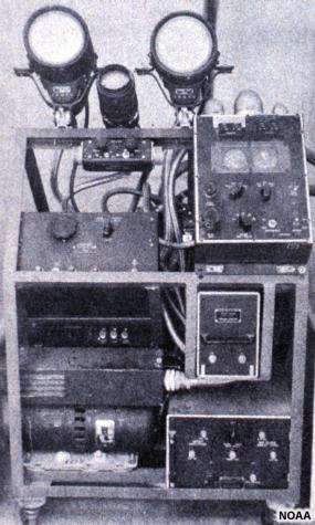
Radar technology has been used since World War II when military personnel tracking enemy aircraft and ships discovered that precipitation also appeared on radar displays. By the end of the war radar technology had advanced considerably, and scientists began using surplus radars to study and monitor weather features.
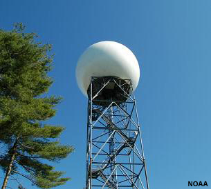
Today, weather radars are usually one of the main tools in the forecaster's arsenal.
This 2-hour module discusses the fundamental principles of Doppler weather radar operation and how to interpret common weather phenomena using radar imagery. Although intended as an accelerated introduction to understanding and using basic Doppler weather radar products, the module is also an excellent refresher for more experienced users.
By the end of this module, users will be able to:
- Explain the basic principles of weather radar operation
- Describe the primary uses and limitations of radar data as well as factors that affect data quality and interpretation
- Interpret wind speed and direction using Doppler radial velocity imagery
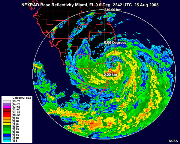
- Interpret precipitation intensity and movement using radar reflectivity imagery
- Use radar imagery to identify phenomena that commonly occur during otherwise fair weather including dust storms, smoke, horizontal convective rolls, fronts, and other boundaries
- Use radar imagery to identify common features of precipitating phenomena, such as winter storms, convection, and tropical cyclones
- Use radar imagery to identify instances of anomalous propagation, velocity and range folding, non-meteorological targets, and other radar artifacts