Limitations » Processor Assumptions » Phase
Radar equations also assume that precipitation particles are all the same phase, but that is often not the case. Because ice and water have different structures and temperatures, ice does not scatter energy as effectively as water and returns about 7 dBZ weaker echoes than water droplets of the same size. Since the reflectivity equations assume that all particles are either ice or water, the true reflectivity value will be unknown. Without supporting temperature or sounding data, it is often quite difficult to determine whether an echo resulted from a region of snow, rain, or mixed precipitation.
The melting level within a region of stratiform precipitation is often the exception to this rule, for a few reasons. First, snowflakes scatter less energy back to the radar than water. When snowflakes begin to melt on their way to the earth's surface, a liquid coating develops on their edges. This water coating often allows them to stick to nearby snowflakes, forming large aggregates of snow. The increase in size and in scattering due to the liquid coating means that reflectivity values increase within the melting layer. This is known as the radar bright band. The increase in reflectivity as snowflakes aggregate and start to melt can be as much as 15 dBZ.
As snow continues to melt, it collapses into more compact raindrops, which lowers the reflectivity values again. Additionally, the raindrops fall much faster than the snowflakes, reducing the number of targets in the area and further lowering reflectivity values underneath the bright band.
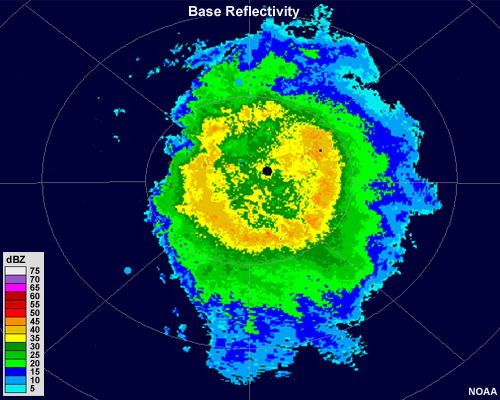
While this is easiest to see and understand in a cross-sectional view, it is sometimes apparent on base reflectivity scans as a ring or arc of higher reflectivity values around the radar site.