Produced by The COMET® Program
Convection
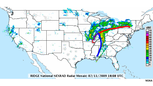
In this national reflectivity composite, there are at least two fronts present associated with precipitation. Depending on season and location, precipitation along these fronts may be either frozen or liquid, and it can often be difficult to distinguish between the two on radar. Convection, however, is usually easily distinguished by its high reflectivity values (>45 dBZ) and its initially cellular shape. In this chapter, we will look at features common to all thunderstorms as well as the typical locations, appearances, and radar signatures of three thunderstorm structures: ordinary thunderstorms, supercell thunderstorms and mesoscale convective systems.
© Copyright 2012-2017, The University Corporation for Atmospheric Research.
All Rights Reserved. Legal Notices.