Convection » Thunderstorm Structures » Ordinary Thunderstorms
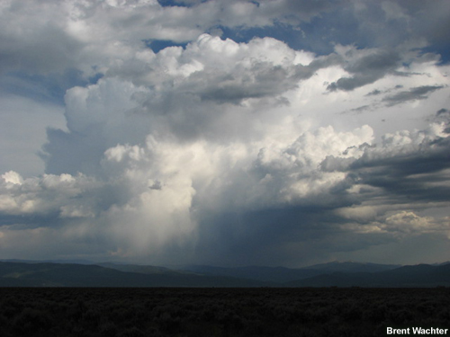
The term "ordinary thunderstorms" refers to those everyday thunderstorms that have short lifetimes—on the order of a few hours or less. They appear daily after sufficient surface heating has occurred. Some common locations where ordinary thunderstorms may be widespread are:
- The maritime, tropical airmasses that make up the "warm sector" of mid-latitude cyclones
- The back side of low pressure systems
- The edges of high pressure systems, and
- Along locally high terrain
These storms are usually not severe, but may contain small hail and gusty winds. In rare cases, otherwise ordinary thunderstorms can produce weak tornadoes, so any convection in the area should be monitored closely by radar.
On radar, ordinary thunderstorms generally develop quickly into small thunderstorm cores no larger than about 20 km (12 mi) in diameter. They have no characteristic shape and simply appear as small "blobs" with a small core of strong reflectivity values. Multiple cores may develop into larger clusters, but these too usually dissipate within a few hours.
To summarize, ordinary thunderstorms have the following characteristics:
- They are short-lived—a few hours or less
- Generally are not severe
- On reflectivity images, they often appear as small, circle-shaped echoes that have a core of stronger reflectivity
- On velocity images, they have no consistent pattern, other than perhaps some divergence appearing near the end of their lifetime.